
CSUN Professor Explains Why ‘June Gloom’ Was Different This Year
CSUN professor Amalie Orme says several surprising factors are related to the state’s cooler climate this spring. Photo by Laura Fay, IStock
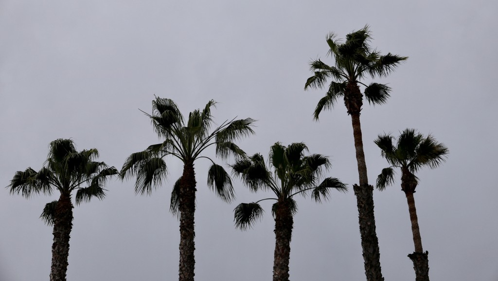
The lingering “June gloom” and “May gray” that brought unusually persistent cool and cloudy overcast weather to Southern California have been hard to miss. While the cooler temperatures are common in late spring and early summer, this year seems different.
As the rest of the Northern Hemisphere broiled in record heat, California was stuck in a chilly, wet pattern.
This was due to several surprising factors, according to California State University, Northridge geography and environmental studies professor Amalie Orme.

Amalie Jo Orme
The cooler weather comes from a series of low-pressure systems that have been stalling over California, bringing cloudier and cooler conditions with them, Orme said. Occasionally, one of these systems will weaken, allowing clearer skies and warmer temperatures, but then another quickly sets in.
However, Orme said, this year the gloomy weather “has been unusually persistent” causing some experts to be “caught off guard” with the cooler temperatures.
“It has all been compounded by a couple of really slow-moving low-pressure systems, which we can certainly get in this region at this time of year. But the most recent one basically just began to stall over us,” Orme said. “The reason that we’re probably getting this persistent low is that the normal high pressure that by this time of year begins to establish itself broadly over the eastern Pacific has not yet fully materialized.”
By June, the morning marine layer typically burns off by the latter part of the day. However, Orme said, its persistence throughout the day shows the blocking high pressure has not established itself.
“For some reason, even though we’re seeing these warming ocean temperatures to the south of us, the surface of our Pacific Ocean is still rather cool,” Orme said.
The cooler-than-normal start to summer is not related to the wet winter the region experienced this past year, Orme said, and is more of an anomaly when looking at weather in the coming months.
While the rest of June is expected to stay below-average temperatures, the outlook for July through September is the opposite — above-normal temperatures are expected throughout the state.
With record rain at the start the year and a cool transition from spring to summer, does that mean more below-average temperatures this fall that may preview another wet winter? Orme said that may not be the case.
“It’s probably too early to tell. Just because we see El Nino developing does not necessarily mean that we are going to be inundated with rainfall,” Orme said. “El Nino could in fact impact more in Northern California, Washington or maybe even to the south of us. We don’t have a clear picture yet for southern California. We’re probably in a 50-50 right now if we’re going to get above average rainfall later this year.”
While the cooler temperatures are not typical for this time of year, Orme said many will miss this climate in due time.
“It’s been a nice reprieve from the sweltering heat we saw this time last year,” Orme said. “It will surely be back before we know it.”