Did You Know: Navigate Your Way to CSUN’s Massive Map Collection

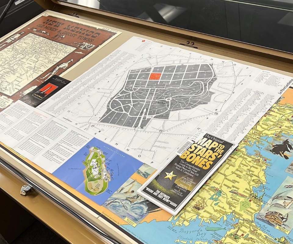
Various maps that can be found at CSUN’s University Library Map Collection. Photo courtesy of University Library.
Did you know that in addition to more than 1.5 million books, 250,000 periodicals and 60,000 photos, CSUN’s University Library also boasts a Map Collection with more than 400,000 maps? They include geologic maps, traffic maps, tourist maps, zoning maps, topographic maps and planning maps of California, Los Angeles and the San Fernando Valley. There are even maps of areas and territories that no longer exist.
Emilie Ducourneau is the curator of the collection that includes maps dating back to the 1700s. She notes that these documents serve as a snapshot in time — showing what was happening in a particular area at the time the map was drawn.
“I come from a history background, so when I look at maps I immediately think of the historical context,” she said. “Like, when was the map made? Where was it made? Who was it made by? Place names, countries, borders, they change and they change, so having certain maps of different times shows the idea of what has changed and what has stayed the same over time.”
The collection began in 1958 and has grown largely with donations from members of the public and government agencies, including the Federal Depository Library Program, the Army Map Service and Bureau of Land Management. Its original location was in Sierra Hall, as part of the geography department and was moved to the library in 2019 when additional space became necessary.
Students frequently use the maps for class assignments or research. Community members are also welcome to use the collection for their personal research.
The Map Collection is located on the University Library’s garden level. It’s open from 9 a.m. to 5 p.m. Monday-Friday, by appointment only. For appointments and more information, call (818) 677-3465 or email librarymaps@csun.edu.

 experience